|
vtdata library
|
Public Member Functions | |
| void | Initialize (const DRECT &extents, float fMinHeight, float fMaxHeight) |
| virtual bool | FindAltitudeOnEarth (const DPoint2 &p, float &fAltitude, bool bTrue=false) const =0 |
| bool | ContainsEarthPoint (const DPoint2 &p, bool bInclusive=false) const |
| DRECT & | GetEarthExtents () |
| const DRECT & | GetEarthExtents () const |
| virtual void | SetEarthExtents (const DRECT &ext) |
| void | GetHeightExtents (float &fMinHeight, float &fMaxHeight) const |
Protected Attributes | |
| float | m_fMinHeight |
| float | m_fMaxHeight |
| DRECT | m_EarthExtents |
A heightfield is any collection of surfaces such that, given a horizontal X,Y position, there exists only a single elevation value.
|
inline |
Test if a point is within the extents of the grid.
|
inline |
Returns the geographic extents of the grid.
| void vtHeightField::GetHeightExtents | ( | float & | fMinHeight, |
| float & | fMaxHeight | ||
| ) | const |
Gets the minimum and maximum height values. The values are placed in the arguments by reference. You must have first called ComputeHeightExtents.
|
virtual |
Set the geographic extents of the grid.
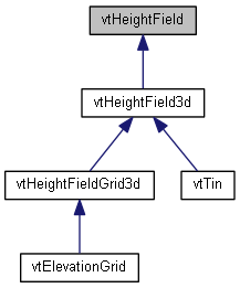
Reimplemented in vtHeightFieldGrid3d, and vtHeightField3d.
 1.8.10

