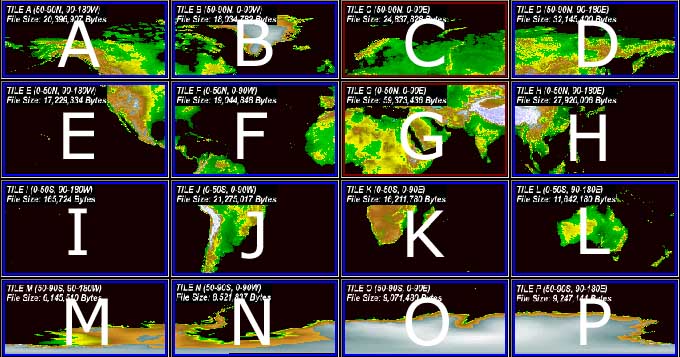
A free dataset created by combining data from many sources, including gap-filling
SRTM, and sheets of contour maps.
Coverage at 3 arc seconds is now global, and unlike SRTM and ASTER GDEM,
there are no serious voids or artifacts.
In particular, he notes, with SRTM: "..unfortunately not quite all the world was mapped. [..] Although the
0.2% of the rest of the world may not seem significant, its significance is
increased by the fact that it covers the highest summits of most of the
world's mountain ranges, including all 14 of the world's 8000m+ summits and
most of the world's 6000m+ summits. [..] More than 10 years later, NASA's
SRTM data still do not cover these areas. I began the task of filling them
from alternative sources in May 2005 and completed it in November 2012,
completing NASA's mission to map the world."
There is even data for e.g. Norway, Sweden and the Faroe Islands where no
SRTM data is available.
Not available yet, but... a project of the European company Astrium, begun
in 2010, with data promised in 2014, which is "intended to
be the replacement dataset for SRTM"
12m x 12m raster, with vertical accuracy: 2m (relative)
/ 10m (absolute)
Global homogeneity, highly consistent dataset thanks to data collection
within 2.5 years only.
No ground control information needed thanks to high geometric precision
of sensors.
No word yet on whether it will be as free and unrestricted as SRTM.
Produced by the USGS in 2011 by combining the "current best available
global elevation data" from public sources. It is multi-resolution,
with areas at 30-, 15-, and 7.5-arc-second resolution.
In theory, it replaces the older GTOPO30 dataset (see below).
The dataset is delivered as tiles whose dimensions are 30° of longitude
x 20° of latitude.
GDEM is 30m elevation dataset created by stereo-correlating the 1.3 million
scene ASTER VNIR archive, covering the Earth’s land surface between 83N and
83S latitudes, formatted in 1 x 1 degree tiles as GeoTIFF files.
It is available from
NASA’s GDEM
WIST site. However, the process is cumbersome, involving registration
and a complex search. In fact, as of July 2009, when i attempted to find
GDEM for two areas (Hawaii and Bolivia), both searches came back with the
name of the data file (e.g. ASTGTM_S20W065.zip) but "On-line Access:
Access Unavailable"
In a review
at the time of release, it was observed that "While
the elevation postings are ~30 m, the detail of topographic expression resolvable
in the ASTER GDEM appears to be between 100 m and 120 m... residual cloud anomalies,
a variety of pervasive artifacts.. straight lines, pits, bumps, mole runs, and
other geometric shapes.. unsightly bump/pit pairs."
Claims "Seamless, void-free coverage across the entire globe, 30-meter
ground sampling. Aggregates ASTER, SRTM and GTOPO using worldwide control
combined with Intermap’s proprietary data fusion technology."
Commercial: "pricing is as low as $0.01 per square kilometer"
 NOAA GLOBE Project
 USGS
GTOPO30
(Old)
USGS
GTOPO30
(Old)