Locations - Europe
< back up to International
General Data
By Country
- Albania
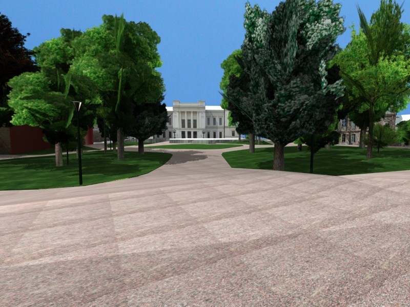
- Austria
- In 2014, a
Vienna 5m LIDAR elevation was made freely available (and also 10m free for the whole country?)
- the VRVis research center includes
a
3D City Modeling project which has done some of the city of Graz
- CyberCity AG made a commercial 3D model of the city center of Salzburg,
generated with CyberCity-Modeler using photogrammetry and aerial imagery.
The whole model was automatically textured using oblique aerial images and
was processed for an online interactive visualization with
TerrainView-Web (ViewTec AG).

- Belgium
- Bosnia & Herzegovina
- GISDATA.com is based
in Zagreb (Croatia) but they sell data for B&H as well
- one contact in Zenica bought 20m ArcGRID DEM of their region
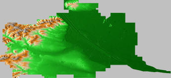
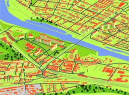
- there are 10 subdivision called Canton (also kanton or zupanija) further
subdivided into municipalities, e.g. Zenica-Doboj Canton (to the right)
- the typical projection for Bosnian data is:
- Projection: Transverse Mercator
Datum: Potsdam (Germany) or somewhere called MGI Balkans Zone 6
Central Meridian Scale Factor: 0.9999
Central Meridian: 18
Origin Latitude: 0
False Easting 6500000 m
False Northing: 0 m
Spheroid: Bessel
- Croatia
- GISDATA.com again:
they sell a wide variety of data include DEM, vector data, imagery, land
use, even 3D building models - for Croatia, Bosnia & Herzegovina, Serbia
& Montenegro, Albania and Macedonia
- contacts: Robert Sabocanec (robert.sabocanec@soko.hr)
- Terrain modelling, and Sasa Bistrovic (sasa.bistrovic@soko.hr)
- Visualization; their area is some parts of Croatia (Mediterranean part
near Pula, Zadar and capital Zagreb)
- there is a Free Croatia project, headed by Josip Almasi of
vrspace.org
- The vrspace Sourceforge
page links to a 'Free Croatia' VRML model (25MB) which incorporates
SRTM and
a MODIS snapshot for the basemap, with inset models for a fair in
Zagreb, hunters house muljava on petrova gora, and center of Zagreb.
'Most of the models were designed in MAX. Still some others were converted
to VRML from acad. Some were handcoded, like trees and rivers.'
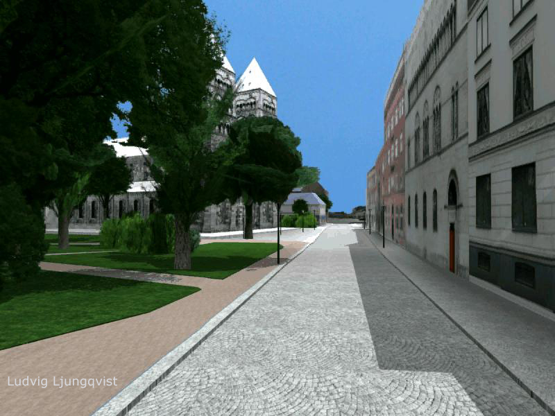
- Czech Republic
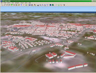
- The Virtual Old Prague Project
has created some textured facades, distributed as VRML, for some streets
in the old part of Prague
- GEODIS Brno s.r.o. licenses
data including a 25m DTM and 0.5m orthophotos for the whole country
- the country is around 485*280 km in extent, so that's 19400*11200
elevation and 970000*560000 imagery at the full commercially available
resolution
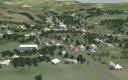
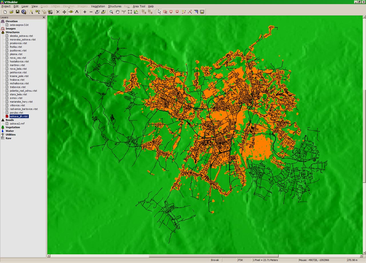
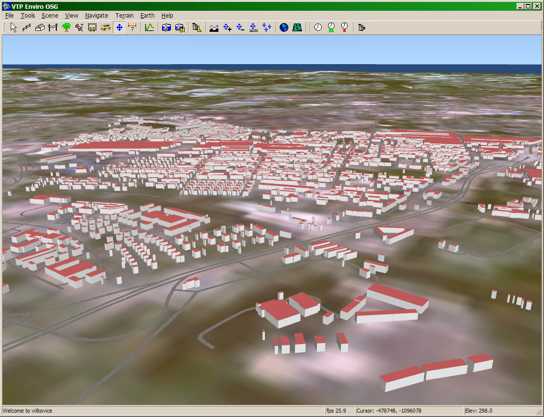
- Ostrava region: in 2007, Jozef Inglot (jozef.inglot.st@vsb.cz)
made a simple VTP scene of Ostrava
- consists of ~90m elevation, ~25m imagery, 41241 buildings from footprints,
and roads
-
 The unusual projection "JTSK" is commonly used for Czech and Slovak
data.
The unusual projection "JTSK" is commonly used for Czech and Slovak
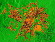
data.- OpenKýbl3DMap
- an interesting open-source project, started Feb. 2010, to take free data
(primarily OSM) and generate rendered isometric 3D tiles for viewing
in a slippy map
- for some areas (see this
view of Kralupy nad Vltavou) they have building height data,
which makes it much more 3d
- their
wiki page translated into English
- Denmark
- While most modern data is in WGS84, older Danish data uses a
coordinate system called "System 34", which comes in three varieties.
-
Geodataprodukter Kortforsyningen/Download
- In January 2013, the government made elevation (and some other data)
freely available!
- There is 10m DEM, 1.6m DEM, LIDAR with 0.5 pts / square meter
(classified!), and more.
- The elevation grids are in .asc format which lacks a coordinate
system. Reportedly they are in UTM32, presumably WGS84 datum.
- BlomInfo is a company which has
produced a 3-D
model covering the total area of Copenhagen municipality
- In October 2008, they announced coverage of the entire country,
including 2.5 million buildings:
World's first nationwide 3D 'city' model. This was
based on a LIDAR scan of the country with a pointspacing of 1.6m.
- In September 2009, Google Earth added 3D buildings for Copenhagen.
- Finland
- National Land Survey of Finland
(NLS)
sells map data, and
MapSite
provide free image-only browsing, some sample files are reportedly available
- The national grid coordinate system (KKJ) is used in nation-wide mapping
- Starting in 2010, they are LIDAR-scanning the whole country
- Reportedly, the city of Helsinki from 1997 to 2002 produced a 3D model
of the whole city, and continue to upgrade their basemap from 2D to 3D,
including the use of laser scanning for structures.
- contact Harri Lilja has
done VTP modeling of the Alajoki area in Middle Finland, Municipality
Perho
- from a Finn: "For available data you can ask from Stuart Fish (
stuart.fish@novogroup.com
), he will be happy to sell some data :-) I know that at least DEM
with 25 meter cellsize is available, but expensive(?)"
- France
- Germany
- Greece
- Hungary
- reportedly, digital elevation is available from the military for reasonable
cost: an area of 2x3 kilometers at 10m resolution cost 40.000 HUF ~ 180
USD
-
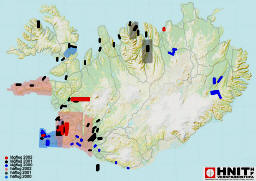 Iceland
- report, August 2004: "The
National Land
Survey of Iceland does sell 90m DEM information for Iceland, its expensive.
The whole country costs about 1550$ and then you order specific square km
and each costs about 35 cents with a minimum purchase of about 50$."
- firms such as HNIT also sell
cartographic and aerial data products
- Ireland
- cleaned-up SRTM data (100m) is available from
Geomantics Data Services
- very inexpensive: £20 for each set, or £100 for all 6 sets covering
the UK and Ireland
- Ordnance Survey Ireland is the official
agency, which is as highly restrictive as any NMA. Their website does
not even mention the existence of digital geodata, only the sale of printed
maps and licensing of very limited reproduction rights at high prices.
- Reportedly, for aerial photos there exists data called Ortho2000 (100%
coverage) and Ortho2004 (around 25-30% complete for the entire country)
- Italy
- Malta
- "Elevation data in Malta is available from the
Malta Environment and Planning
Authority which has as one of its functions the National Mapping Agency.
The highest resolution available commercially is 50m and is quite expensive
to buy, going into a few thousand dollars."
- Netherlands
- Norway
- In 2008, the company C3 produced a
3D model of Oslo.
- It is impressive, although tightly closed and only viewable
with their proprietary Java viewer.
- It looks like texture-mapped LIDAR, but apparently it is derived
from
just aerial images, not LIDAR
- Some background info on
Sesam 3D map
- Poland
- Portugal
- no contact yet, but promising government site:
CNIG / SNIG (Sistema
Nacional de Informação Geográfica / National System for Geographic
Information) provides 'access' to geographic information produced by national
public agencies, although it is not free data
- the site is in Portuguese and English, but the English side seems to
have many broken links
- there is a beautiful nearly-cloud-free
true color 250m image in the MODIS gallery
- Romania
- Russia - see Asia
- Slovakia
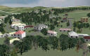
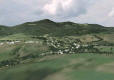
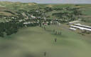
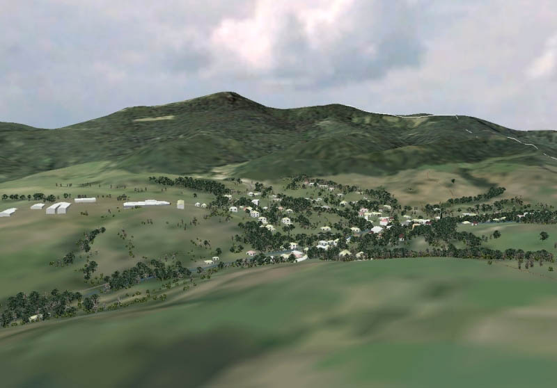
- contact: Jozef Inglot <jozef.inglot@inMail.sk>
- used the VTP software in 2006 to create terrain visualization of
Ilija - "small village near B. Štiavnica, Slovakia, for Bacalar project
in FPV UMB, B. Bystrica."
- Jozef writes: "Many sources for it comes from "Kataster Nehnutelnosti"
(Slovakian real estate register), but some sources we can not find anywhere,
so we just go there and see it (we don't have any geodetic accessories
now, so they are not geodetic-precise). We make much photos from this
village, and we log information about visual look of almost every house
there. The source of vegetation and locations of trees comes from airplane
photos. Elevation model was DEM model, created by me from scanned contour-line
elevation map. We have very nice historical center (Banska Stiavnica
is in UNESCO)."
-
- Slovenia
- Spain
- Sweden
- Switzerland
- United Kingdom
- Ukraine


