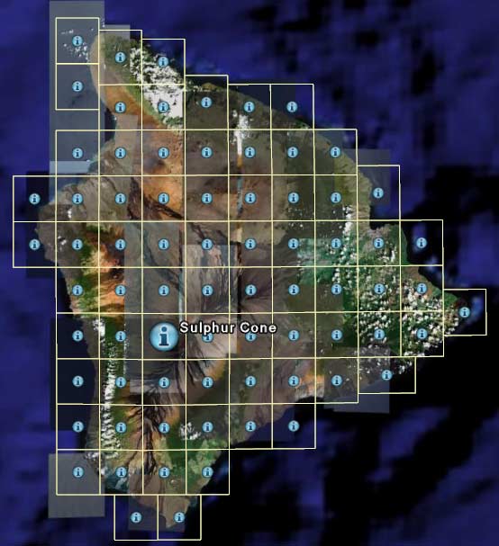
Getting USGS Data
Free
- Some USGS data is available free, online, at
USGS Geographic Data Download
-
Unfortunately,
nearly all of the elevation and vector data is in the awkward
SDTS format
- You can also browse and directly download some raster data through the
National Map
Seamless Data Distribution System
- currently, this is limited to SRTM, NED (National Elevation Dataset),
and some small areas of orthoimagery
- to check if an area has orthoimagery, you can consult the
High Resolution Orthoimagery List
- you can specify the exact rectangle you're interested in, but only in
Geographic extents (not UTM etc.)
- For DOQ and DRG, if you don't care about exact resolution, you can use the
free terraservice.net (TerraServer-USA)
- it is implemented both with a web interface and as a direct
WMS, so you can access it directly from any
WMS client, such as VTBuilder
- as of 2004, it even includes some color DOQ, which are also found in
the National Map server
- for the WMS address, for capability and maps, use
:
- see TerraServer Web
Services for more details
- All DRGs are also online free at the Libre
Map Project
- If you only need to get individual elevation points, the
USGS
Elevation Query Web Service return the elevation in feet or meters for a
specific latitude/longitude (WGS 1984) point from the USGS Seamless Elevation
datasets.
- LIDAR data are at CLICK: the USGS
Center for LIDAR Information Coordination and Knowledge
Quad Names
- traditionally, most USGS data was on printed maps, 7.5 minutes by 7.5 minutes
in size, and most of their digital data follows this structure
- each quadrilateral map ("Quad map") has a unique name, which is useful for locating
and referencing the data
- unfortunately, many download interfaces won't produce a map of these quads
-
there
used to be a USGS Map Finder until they took it offline; their new
USGS Store doesn't yet have a geographic
map locator
- you can still use the
USGS Data Center,
1:24k DLGs interface to graphically browse for quad names
- alternately, there are data sources such as
usgsquads KMZ 24k
which can be viewed in Google Earth to quickly find a quad name, although their
links all go to their company which sells the public-domain data
Purchasing
- most of their data, especially higher resolution products and older file
formats, must be ordered at the cost of $1 per file, plus $45 per order
- their new web interface for ordering is
USGS EarthExplorer
- you can have them either mail you a CD, or arrange for FTP download
- if you prefer to pay by the download and don't mind lots of advertisements,
you can also use authorized USGS distributor
GIS Data Depot