Terrain Tools & Software Packages - Location specific
A location-specific field 3D terrain visualization is appearing,
sold to end-users and targeting a specific geographic area. Since it's
aiming for a more widespread and less technical audience, the marketing tends to
be more flashy and include breathless hype - fantastic!, ultimate! - to
get attention in the retail software channel.
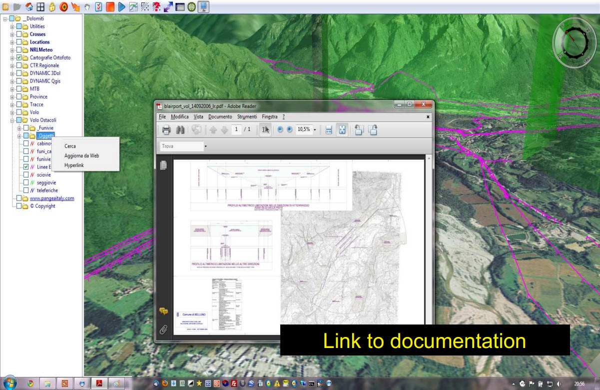
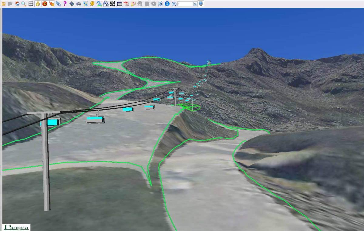
Italy
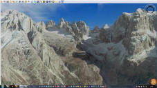
- 3D RTE
- A nice 3D viewer with very attractive high-resolution data for a few
parts of Italy.
- The viewer is free, the data is sold on DVD.
- In some areas, it has much higher-resolution than Google Earth.
- Features include visualizing controlled airspace, ski areas, power
lines, river analysis
- The 3D RTE
Youtube Channel has many impressive videos
-

New Zealand
-
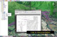
 TUMONZ
- "The Ultimate Map of New Zealand"
- the company has licensed an enormous amount of street, elevation and
landcover data from LINZ, and packaged it into an affordable, easy-to-use
map browsing application
- the viewer with basic data (US$67) comes on 1 CD, with extra modules for
things like high-resolution imagery
- there is a 3D View feature, which allows you to fly at a fixed elevation
over a one small area at a time - the low-res texture comes directly from
the 2D map
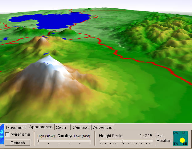
United Kingdom
-
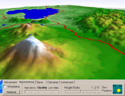
Photoscape 3D
-
 "Photoscape
3D on DVD-ROM, enabling you to see your county or region in fantastic, photo
realistic 3D! Soar over your own street, glide over surrounding
neighbourhoods or open countryside, you’re in control!"
"Photoscape
3D on DVD-ROM, enabling you to see your county or region in fantastic, photo
realistic 3D! Soar over your own street, glide over surrounding
neighbourhoods or open countryside, you’re in control!"
- combines viewer software from
McCarthy Taylor with 2m resolution aerial imagery from
getmapping and 10m
elevation from NextMap Britain
- An interesting pricing approach: for the initial purchase price of £25
you get a pack of 3 DVDs containing the whole of England & Wales, with 47
regions which can be "unlocked". One region is included with the initial
purchase, additional are £12.50 each.
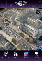
France
- Mobile 3D City
- an iPhone app with a large textured model of Paris, which is the
only city covered. It costs $4.
- As of July 2010, they plan to support Android and Windows
Mobile, but no plans for more cities.