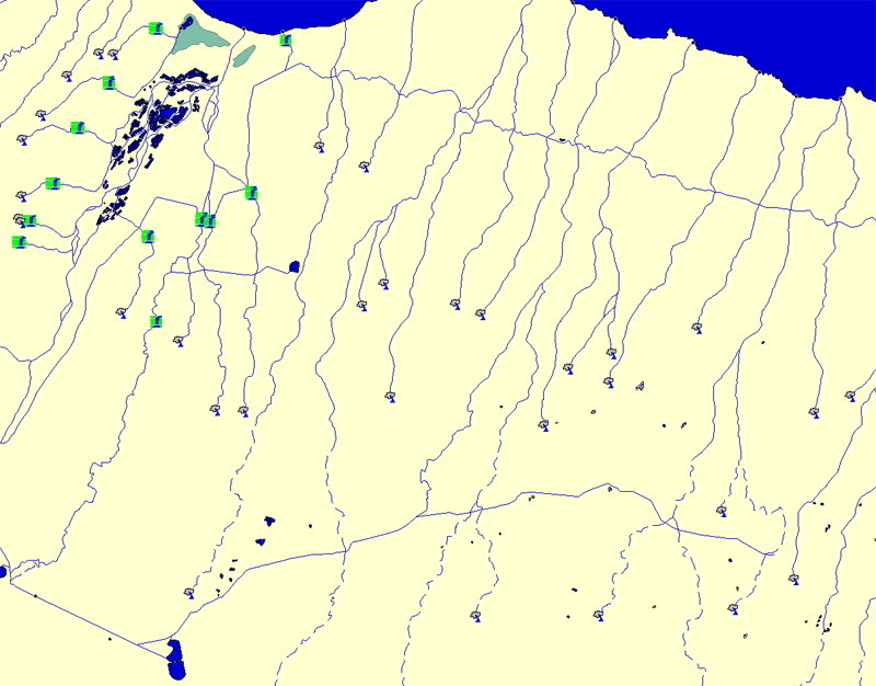
The USGS provide DLG files which include a hydrography layer. This
layer contains vector data for streams and canals, and polygonal data for wide rivers,
lakes and ocean.
Like other DLG, older files are in DLG-O format, newer files are in
SDTS.
There is implicit topology in the DLG format (lines meet
at nodes) but the topology is purely graphical, it does not indicate
anything about the water. Usually, there are point feature attributes
for
stream origins, and sometimes waterfalls. There are no attributes for stream width, water
depth or anything else that would be useful for a visual representation.
Rest of the world
There is unfortunately no standard for representing hydrology in
conventional GIS frameworks. Each project or data collection seems to make
up its own format or attributes.
USGS
SWBD
(Shuttle Radar Topography Mission Water Body Dataset)
A by-product of the data editing performed by the NGA to produce the
finished SRTM data. They needed a "water mask" in order to fix the
ragged coastlines and non-planar water bodies in the SRTM data, and this
was the result.
It can be download from the
USGS EarthExplorer
- it is hiding under the tab "Data Sets: Digital Line Graphs"
NOAA GSHHS
- A Global Self-consistent, Hierarchical, High-resolution Shoreline Database
It is good quality data, but it is indeed global, so there's not
really enough detail for any small-area visualization; perhaps it's usable
for a regional scope.
Stream Centerlines
Stream centerlines (which is all that DLG and most GIS datasets contain)
are not very useful for direct visualization, but perhaps the most useful
way to apply them is to correct issues with the elevation, i.e. see
 DLG (USA)