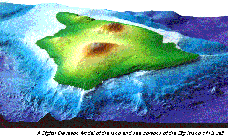
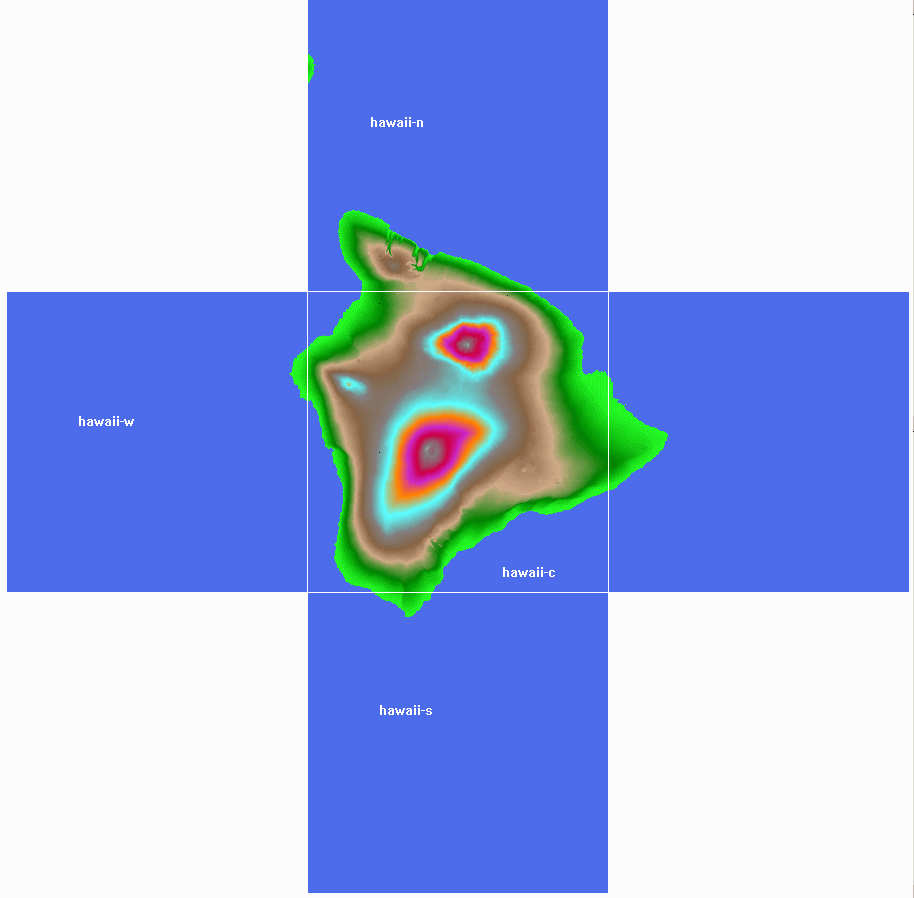
Hawai‘i Island Elevation Data
See Hawaii Statewide Elevation Data first; this page
describes the Hawaii island data specifically.
- the USGS provides both 7.5-minute and 1°
DEMs
- Summary:
-
| Data Type |
Map Projection |
Datum |
Vertical Units |
| 1-degree DEM |
Geographic (arc-seconds) |
Old Hawaiian |
meters |
| 30-meter DEM |
UTM (meters) |
Old Hawaiian |
meters (some are in feet) |
| 10-meter DEM |
UTM (meters) |
NAD83 |
feet |
-
 1°
DEMs
1°
DEMs
- number of files for the whole island: 5
- free from the USGS web site
- at 1200x1200 data points per degree, it's 1506x1630 data points
- ~86m/point (3 arc-seconds at this latitude)
- using 64x64 point patches, produces a 25x25 grid = 625 LOD patches
- poor quality: major gridding artifacts, entire
island is offset by up to 1 km east, etc.
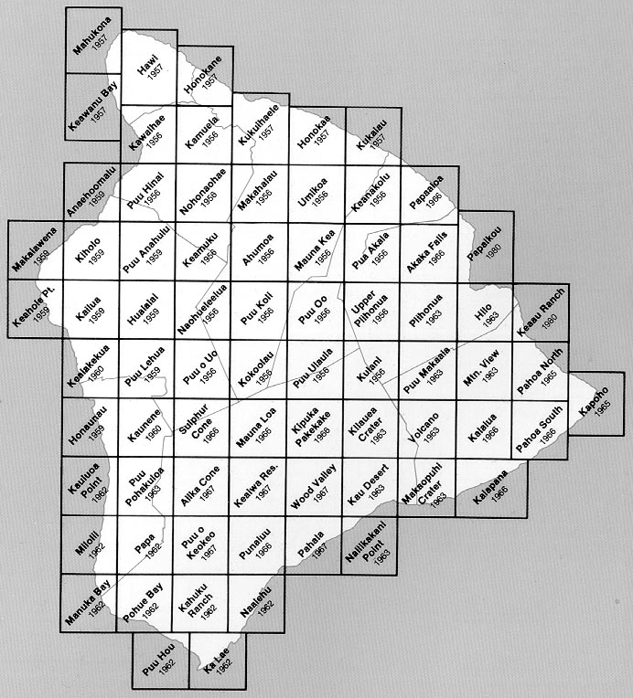
- 7.5-minute 30-meter DEMs
- number of files for the whole island: 82
- cost around $600 from the USGS ESIC on CDROM (what i paid in 1997)
- now much cheaper, the USGS had a major price drop
- at 30m per point, about 4300x5000 points = 20 million vertices = 40
million tris
- much better accuracy than the 1° DEMs
- 99.01.15: extracted at UTM origin and size (176793, 2091648),
(134137, 152721)
- extents LTRB (176793, 2244369, 310930, 2091648)
- subsampled to 1k*1k and 2k*2k
- 99.09.16: extracted a 4k*4k subsample at the same location
- 7.5-minute 10-meter DEM
- available for the whole island - both from the usual
USGS Sources and from
UW 10m Data
- 13000x15000 points = 195 million vertices = 390 million triangles
- ordered and received - quality is incredibly good
- quality comparison:
30 meter
 |
10 meter
 |
- 00.01.12: extracted an 8k*8k sampling from the 10m DEMs - that's
16.2m resolution!
- 04.05.08: went back to 10m DEMs to extract a fresh set of BTs at
WGS84
- Had to shift the extents to match the imagery
- New origin and size: (177093, 2091478), (134137, 152721)
- NASA SRTM
- article:
Improving
Oahu’s image - "NASA says detail in the shuttle radar images will be
30 times greater than that in existing world maps."
- SRTM has a lot of problems with steep slopes, which are extremely
common in Hawai‘i. It can't compete with the existing 10m DEM already available
Undersea
- In addition to the bathymetry data for the whole
island chain, there is some Big Island-specific data
- SOEST page
Shoreline Imagery for Hawaii
- includes a Shockwave interface to SHOALS LIDAR bathymetry for
certain regions of coastline
- it's easier to access the
Hawaii Shoals folder on their FTP site
- SeaBeam
- "Two-Dimensional
Digital Surfaced Grid of High Resolution Bathymetry (including SeaBeam™
multibeam) and Topography around the Island of Hawai‘i"

- they collected, reformatted, edited, filtered, and gridded the
publicly available data into a DEM!
- can be licensed
- contact is Jonathan Roberts at the UH Office of Technology
Transfer & Economic Development (OTTED), (808) 539-3828,
robertsj@hawaii.edu
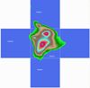
- actually, the "DEM" is in the
netCDF format
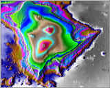
- ordered the data in Nov. 1999, received file
"BigIsle-I92m-T35-Fm.75D1.grd"
- file size: 28 MB
- resolution: 3 arc-second (same as 1° DEM, ~90m)
- dimensions: 3001 * 2401
- VTBuilder snapshot to right
- longitude range = -156° 35', -154° 5'
latitude range = 18° 30', 20° 30'
- the above-sea data is simply copied from the USGS 1° DEM data
- USGS Pacific Sea-Floor
Mapping
- has some attractive images of Hilo Bay, but no source data or data
descriptions?
- Hawai`i Mapping Research
Group
- has several towed submersibles for seafloor mapping, site has no
data

 1°
DEMs
1°
DEMs