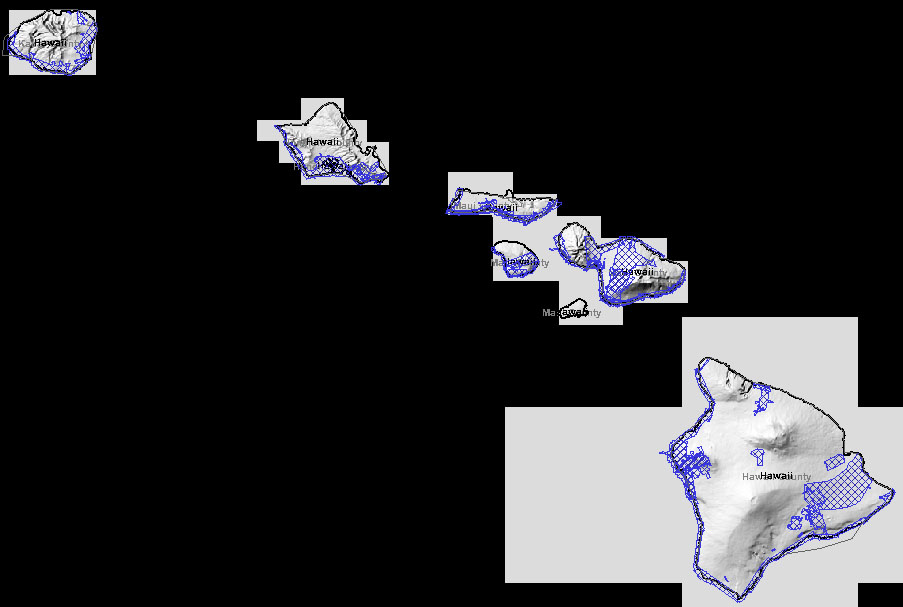
Hawai‘i - Statewide Elevation Data
DEM
- 10m USGS DEMs for all the islands are available, and they're very good
quality
- the USGS Hawai'i Clearinghouse
surprisingly does not have DEM, but for each island it has a variety of
other layers including hillshaded
JPEG images
NEXTMap
- 5m commercial LIDAR-derived elevation is available, as
part of the
NEXTMap® USA Dataset
- As of 2008, price for the DTM is $25/km2, which is around $5,400 for a USGS quad,
with a $500 minimum order.
- As of 2011, price for DTM is $40/km2, or DSM for $30/km2.
- As an example, my home area of Ahualoa (~17 km2) would cost ~$700
for the DTM
Lidardata.com
- There is other commercial LIDAR data available, either through
USGS CLICK or
Lidardata.com
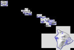
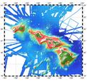
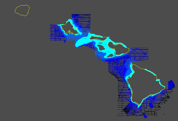
- As of 2009, the coverage was fairly extensive, shown here in blue:
- Although it is linked from the USGS site, the Lidar in this index for Hawaii isn't freely available. Lidardata.com
licenses are around $500 + $250/tile. The $500 is a service charge to,
reportedly, locate the files on their own server (!)
NOAA Index
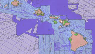 The NOAA
Topographic
and Bathymetric Data Inventory is an index to elevation data (both land
and bathymetric), searchable with a map interface, which includes Hawaii.
It includes Lidar datasets not mentioned anywhere else:
The NOAA
Topographic
and Bathymetric Data Inventory is an index to elevation data (both land
and bathymetric), searchable with a map interface, which includes Hawaii.
It includes Lidar datasets not mentioned anywhere else:
- 2005 NOAA IfSAR data: Geospatial Coordinator, NOAA Pacific,
808-532-3200. "Restrictions: Yes"
- 2006 DBEDT topographic Lidar: Hawaii, Hawaii State GIS manager, 808
587-2846. "Restrictions: No". Called 10.03.30, spoke to
Craig Tasaka who provided a sample of the Waimea data as point data.
It looks great!
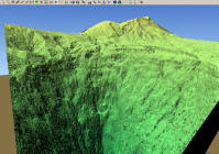
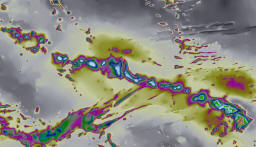
- The sample LIDAR points have sub-meter spacing in most cases.
Interpreted as a TIN, for the back of the Waipi'o valley, it looks like
this in Enviro:
2007 USACE Pacific Islands LiDAR: Hawaiian Islands
-
Available from the
NOAA CSC Data Access Viewer,
as a 32-bit GeoTiff, Geographic, NAD83, 2-meter, vertical units of feet.
-
It is coastal, in long strips around the islands, basically complete
coverage of the shoreline itself.
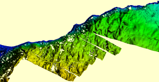
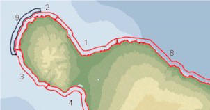
-
It is noisy, with lumps, gaps, streaks and many artifacts. It is not
bare-earth. This is a sample around Kukuihaele / mouth of Waipio:
-
Kīlauea LiDAR
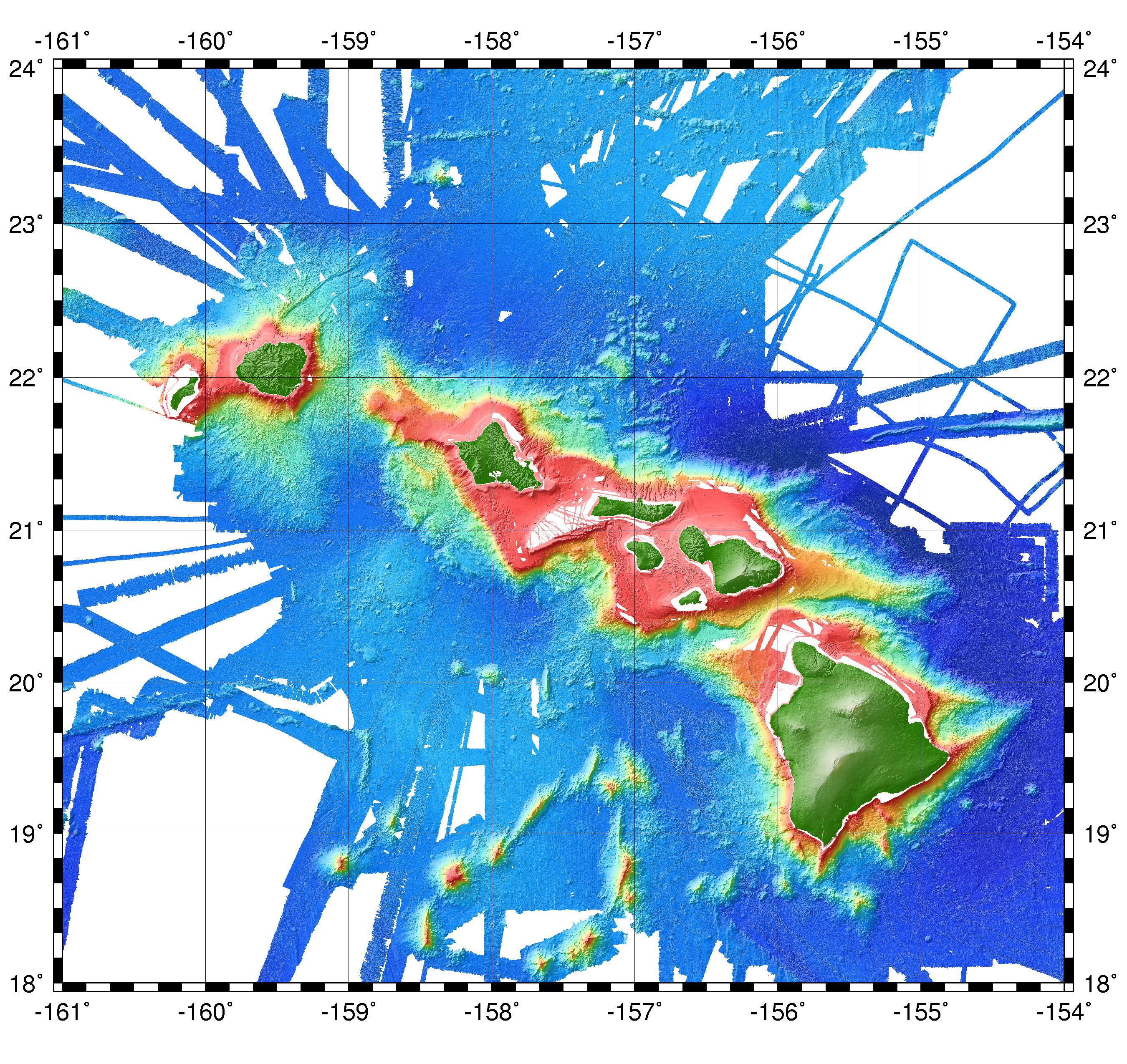
Bathymetry
-
SOEST
Main Hawaiian Islands Multibeam Synthesis
- freely available: the "Complete Multibeam Synthesis" is 50m, a 334 MB netCDF file
- a reduced resolution "Regional Grid" is 1km, 1.8MB, with the unknown
areas filled in with the Smith&Sandwell global dataset
- older free data: keating_public.grd (4.5
MB), netCDF grid of Hawaiian Island chain
- resolution: 1 arc-minute (~2 km)
- dimensions: 1561 * 901
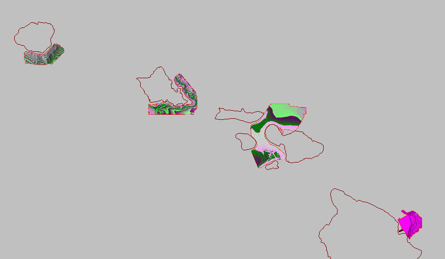
- SOEST Hawaii Coastal
Geology Group
- has pointers to the SHOALS LIDAR bathymetry for each island
- unfortunately they are not in any raster format; only massive,
irregularly-distributed point data files
- they say the data is from the main SHOALS site
-
 SHOALS
(Scanning Hydrographic Operational Airborne LIDAR Survey)
SHOALS
(Scanning Hydrographic Operational Airborne LIDAR Survey)
- their
Online Hawaiian Data has bathymetric point data for much of the
coastlines of each island
- The islands of Kauai, Maui, and parts of Molokai and Oahu were
surveyed in 1999. The survey conducted in 2000 included the islands of
Hawaii, Maui, Molokai, Lanai, Oahu, and Kauai.
- this data has already been converted from .xyx point data to rasters
and is available on the SOEST site above (as rasters?)
- main site says "***Sorry, Data Download capabilities
have temporarily been disabled.***"
-
 USGS
Pacific Sea Floor Mapping:
Hawaiian
Islands
USGS
Pacific Sea Floor Mapping:
Hawaiian
Islands
- has data for a few areas around the islands, farther from shore than
the SHOALS data
- they are in UTM 4/5, with 20m grid spacing - very nice!
- the format is GeoTIFF, and the values appear to be offset by +65536
- i've also encountered a chopped-up version of this dataset, in
Surfer GRD format, without the offset problem, from a person at UH
- NGDC
TerrainBase
- has some "30 minute" "regular grid" data for the "Hawaiian Islands
coast"
- however, it's quite spotty, misses whole islands
See also Elevation/Bathymetry for the Big Island


 USGS
Pacific Sea Floor Mapping:
Hawaiian
Islands
USGS
Pacific Sea Floor Mapping:
Hawaiian
Islands